Kærgaard-Gråmulebjerg Yellow route: Length 5 km.
The route starts from the car park on Kærgårdvej between numbers 9 and 11
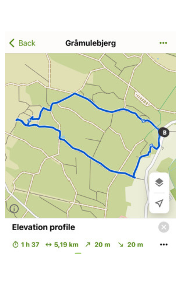
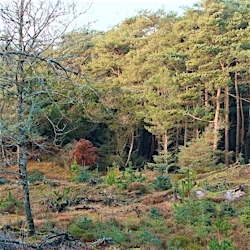
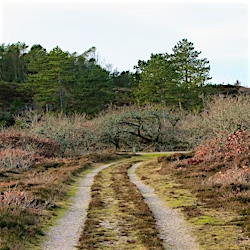
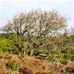
The route starts from the car park on Kærgårdvej Gråmulebjerg is a 30 meter high dune in Kærgård Klitplantage, known for its impressive view over the sea, the plantation and the restored Filsø. To reach Gråmulebjerg, you can follow the yellow hiking route, which is approximately 5 km long. The route starts from the car park on Kærgårdvej between numbers 9 and 11, 6840 Oksbøl. Along the way, you pass the sandy oaks, where only the tree crowns stick up above the sand, which gives a unique insight into the area's natural history. The route is marked with yellow signs and is considered easy to moderate in difficulty, making it suitable for most walkers. It is recommended to set aside 1-2 hours for the trip, depending on pace and breaks along the way. At the car park you will find information boards with detailed maps of the route as well as facilities such as table-bench sets and a fire pit. There are also toilets available at the car park.

