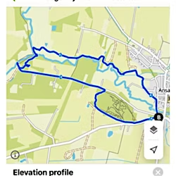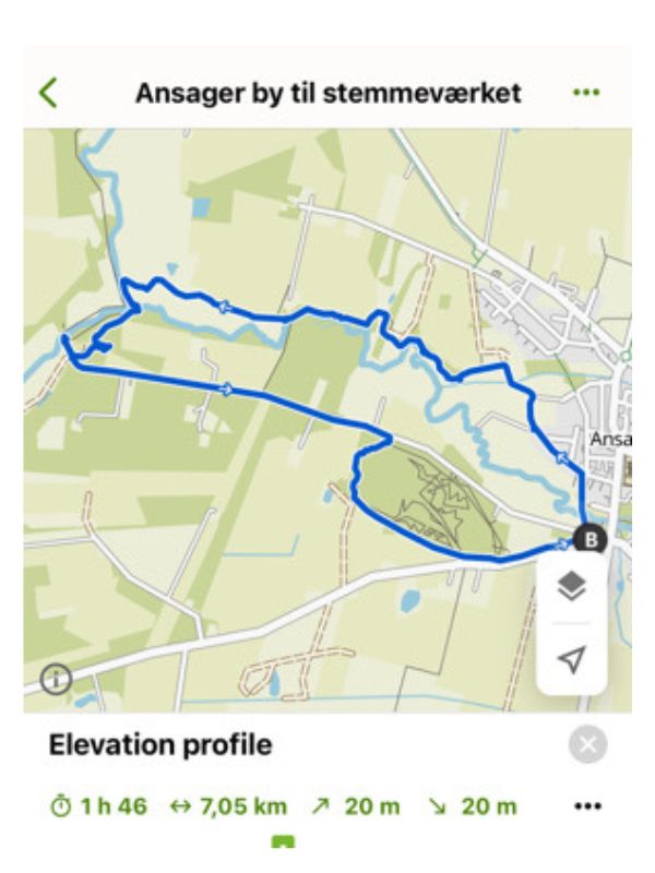
Ansager to the Stemmeværket: Length: 7 km.
The route starts at the car park at the Hytteby
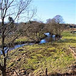
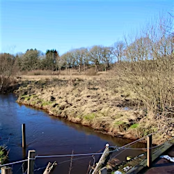
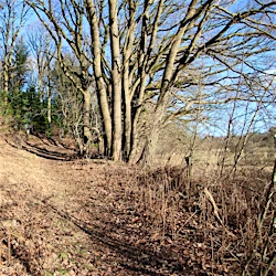
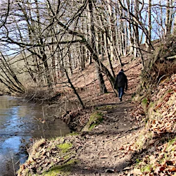
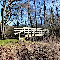
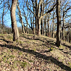
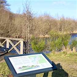
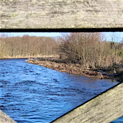
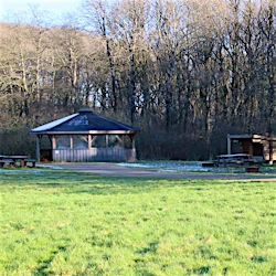
Stemmeværkspladsen by Varde Å near Ansager is a scenic area with shelters, fire cabins and an exhibition about local cultural history. The hiking route from Ansager to Stemmeværkspladsen starts at the Hyttebyen parking lot, where you can follow a path along the Ansager Å. The tour leads through the old oak thicket, where Ansager and Grindsted Å meet to form Varde Å. The Stemverkspladsen offers facilities such as overnight shelters, fire pit, exhibition, toilets and access to water (note that the water supply is closed during the winter months until April 1st). On the way back from the polling station, you follow Kanalvej, a narrow and scenic road, after which you turn south onto a path in the forest by the stadium, which takes you back to the starting point. The route is not marked so it is recommended to use the Komoot app

